
The Leitrim Way
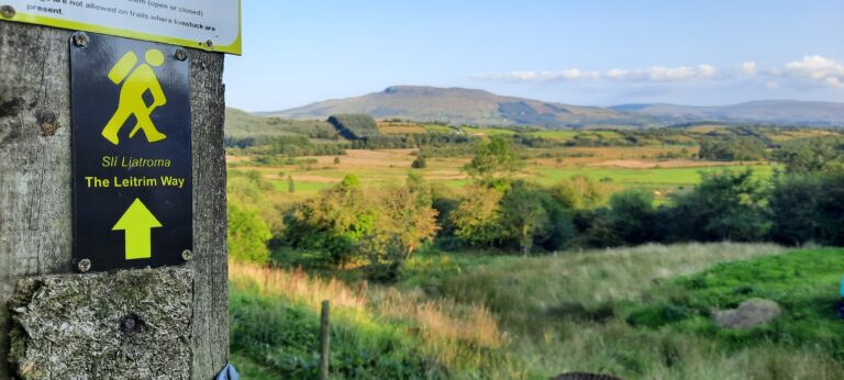
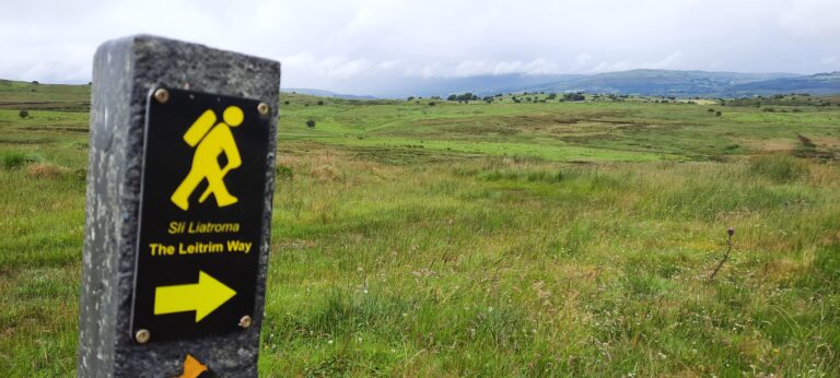
Leitrim’s Longest Waymarked Trail, a superb 57km route takes you from Manorhamilton to Leitrim Village.
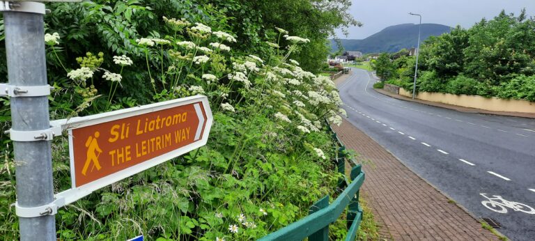
The Leitrim Way route is generally completed over 2–3 days, and brings walkers through a variety of landscape forms common to this beautiful part of the northwest of Ireland. The Leitrim Way forms part of Ireland’s National Waymarked Ways.
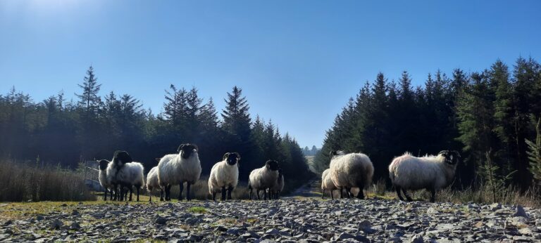
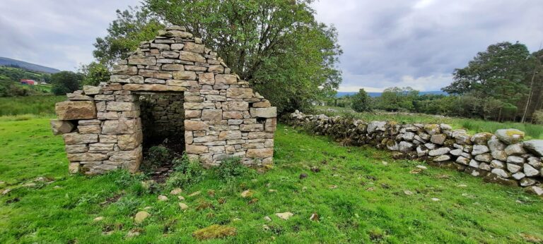
This strenuous route will bring walkers through series of mountain passes, forest roads, river side paths, small farmlands and quiet Boreens, passing closely to rural villages such as Glenfarne, Ballinagleragh and Coollegraine. Visitors will find historic heritage sites unique to the area, such as the famous Sweathouses dotted throughout the countryside.
Starting in Manorhamilton at the Caslte grounds within the centre of the town. From here, walkers will head south towards the townlands of Tullyskeharney, Glenboy and Glenfarne. Along this section, walkers will get a superb overview of the 5 glens of North Leitrim, as they pass the ancient ring forts of Tullyskeharney hills. Walkers will cross the famous sheep wool trail at the peak of their climb before descending into thick Coillte woodlands in the Glenboy area. This section of trail will feel remote, cut off from the busy hustle of the everyday. Walkers can choose to stop in the Glenfarne area for a night in local unique accommodation or press on over the Boleybrack Mountain via the Barr of Farrow Commonage. This mountain pass is the highest point of the trail, at over 370m above sea level. From the top of the hill, walkers will capture spectacular views of the surrounding valleys, Lakelands and even Donegal Bay.
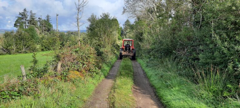
The descent from Boleybrack hills will bring you down remote woodlands and farmyards into Coolegraine, a small rural community townland abundant with remarkable small cottages and farmhouses where locals will welcome visitors with a welcome wave. Following this, walkers will pass over the river Owennayle river, entering the county of Cavan for a few kilometres as you descend into the village of Dowra via small country roads.
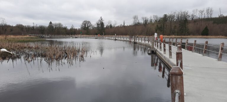
Once in the village of Dowra, trekkers can choose to stop for food in its local pubs and shops, and even stay a night as you reach the half way point of your journey at the river Shannon. Here you will note the meeting point of 3 National Waymarked Trails, the only junction of 3 NWT in the country of Ireland.
Following on your journey south, walkers will pass through a number of farm holdings as they make their way into the quiet rural area of Ballinagleragh on the shores of Lough Allen. Further south, discover vast overviews of the nearby lake, as the route takes walkers along quiet Borreens for a number of kilometers into the town of Drumshanbo. This busy country town will provide all the services a walker will desire on their journey, including some great food options and sites to see.
The final leg of the journey will bring visitors along the Shannon Blueway to the beautiful marina of Leitrim Village.
We love dogs, but we ask that they are kept at home when taking on the challenge of walking the entire Leitrim Way.
The Trail passes through over 100 private property holdings through the kind permission of local landowners. As many of these land holdings are working farms, the landowners have instructed that no dogs are permitted through their property.
In addition, the trail passes through Special Areas of Conservation,
where rare and vulnerable ground nesting birds are present. These birds will abandon their nests if felt threatened by a dog.
